Bentley Systems
The Infrastructure Engineering Software Solutions
MicroStation
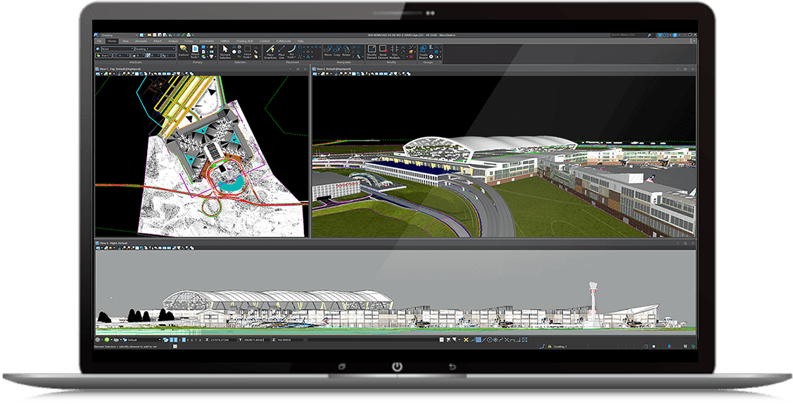
MicroStation is the computer-aided design (CAD) software that users worldwide trust for creating precise 2D and 3D drawings for infrastructure projects. Engineers, architects, and construction professionals openly collaborate to deliver inspiring projects, utilizing the industry leading DGN file format.
-
-
- Draft, annotate, and freely design 2D geometry and 3D models at any scale
- Ensure project quality by enforcing CAD standards with robust configuration capabilities
- Utilize data needed to deliver your projects, no matter when it was created
- Produce consistent, high-quality deliverables, such as paper plots, reports, 2D/3D PDFs, iModels, and 3D models
-
MicroStation provide a comprehensive set of 3D CAD capabilities which include creating models and renderings, performing various analyses, animations, and more.

MicroStation is the instrument professionals rely on to design, model, and manage infrastructure.
CAD for infrastructure
Whether designing your dream boat or engineering world-class infrastructure design, MicroStation is helping users find creative solutions to their client’s unique challenges.
Model, document, access, and view architectural, engineering, mapping, construction, and operations design information with the power and flexibility you need for any size project.
It’s more sophisticated than a tool, it’s an accessible instrument that offers power, control, efficiency, and security. It enables users to deliver innovative designs and creative visualizations and consolidates critical project elements in a single environment for effective, secure project deliverables.

Integrate any data type
MicroStation supports and integrates more than 7x the number of file formats than our competitors. Incorporate legacy client data and a variety of file formats like DWG, SHP, and point-cloud data without the need for data conversions. And easily integrate models, drawings, documents, and data from other disciplines.
Localize and add geospatial context
Integrate geospatial information from thousands of supported coordinate systems into your designs. Access data from Esri ArcGIS™ REST Feature and Map Services, OGC Web Map Servers, use real-time GPS data, Microsoft Bing maps, and create and reference geospatial PDFs.
Produce all deliverables with one application
Automate drawing sheets, models, visualizations, multi-discipline documentation sets, and embedded BIM data. Generate high-quality deliverables such as paper plots, 2D/3D PDFs, i-models, and 3D physical models. Reduce the risk of project delays and errors, adapt to project changes, and save time with MicroStation.


