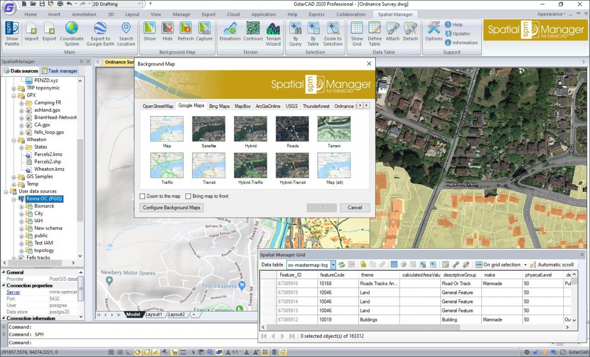
Spatial Manager – a practical example of use
Spatial Manager is a great add – on designed for CAD program users who need to import, export, manage and process spatial data in a simple, fast and accessible way. Spatial Manager offers a number of features that GstarCAD has not offered so far. Spatial Manager works on several CAD platforms, and also exists as a standalone program.
Why is Spatial Manager so practical? (Part 1)
Example 1: We need to quickly check which file is suitable, between 3 Shapefile (SHP) files that contain the same data but whose spatial geometric data differ (required time: 60 s).

Spatial Manager™ software is not designed to compete with most existing GIS applications on the market. It is an excellent complementary tool for fast, easy and cheap spatial data management. Therefore, for many users of GIS applications, Spatial Manager™ is very practical and they use it every day.
Despite the powerful tools included in traditional GIS applications (ArcGIS and others), professionals who use spatial data on their projects, maps, or any tasks related to spatial data and geodesy must constantly check, extract, simplify and transmit their data to other users.
If you are still not using Spatial Manager™, discover top-notch and simple software. See how many procedures required for the day-to-day management of your spatial data can be performed by the function included in the application in a flexible and convenient way:
- Scenario 1: We need to quickly check which file is suitable, between 3 Shapefile (SHP) files that contain the same data but whose spatial geometric data differ (required time: 60 s).
We will use the ‘drag and drop’ file option from Windows to Maps, simple systems for formatting and differentiating data layers, and the ability to display a folder in the background that allows us to compare the location of three layers.
Required time: 60 s.
Watch the video:
